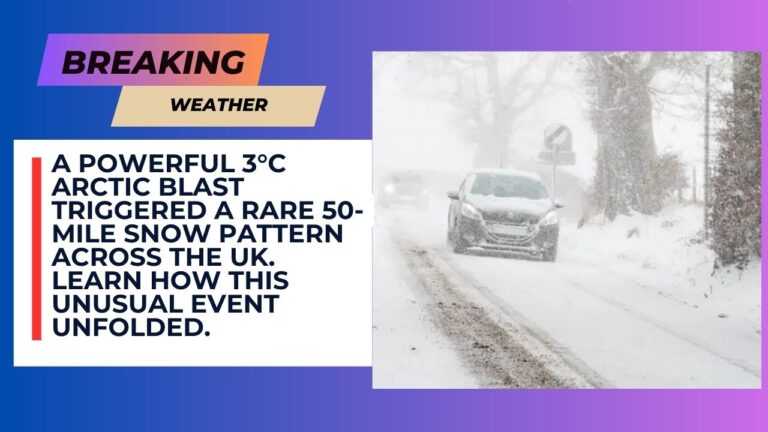
Britain has predicted a huge 50-mile rare weather event later in the week when the mercury is steadily declining and the snow is battering the UK by an Arctic burst once more. The freezing rain has already been predicted in most parts of the UK this week with the temperature going below 0C.
The Met Office defined freezing rain as a rare form of liquid precipitation, which instantly solidifies upon colliding with the weathering surface. The weather conditions required to produce freezing rain are very specific, and hence it is not very common.
The occurrence was predicted in the west coast of Scotland during the night of Wednesday, at approximately midnight. The Ventusky latest weather maps had stated that there would be a near 50 nile stretch of freezing rain between Armadale and Dumbarton.
It would principally hit the western coast of Scotland but bands of rain were also forecasted on the rest of the country. Meanwhile, the temperatures were also expect to fall below 0C.
A small region of Scotland would be between -1C and -3C on Wednesday morning, but the lowest point of the UK seemed to be in Hereford and Gloucester, where it could go to -4C.
The Met Office advised that some time-lag and dangerous weather conditions were likely to happen due to freezing rain. It does not happen very often in the UK, but it is much more prevalent in such places as the US. It said: “The weight of the ice can sometimes be heavy enough to bring down trees and power lines, and the glaze of ice on the ground effectively turns roads and pathways into an ice rink. The freezing rain can also prove extremely hazardous for aircraft.”
In the meantime, new weather maps indicate that icy weather would again lash the UK and even the southern parts would be feeling cold. WXCharts maps turned white and purple to November 30, and this is an indication of great chances of snowfall over vast areas in Britain.
The Met Office long-range forecast of 27 November to 6 December warns: “After a settled start across much of England and Wales, it will be quickly turning unsettled across Northern Ireland, Scotland, and then the reminder if England and Wales through Wednesday and into Thursday, with cloud and rain bearing Atlantic systems heralding a step change back towards more changeable, or even unsettled conditions through the last days of November into early December.
“Rain could at times be heavy and prolonged, with the risk of gales. There could be some short-lived transient settled periods too, perhaps bringing an increased risk of frost and fog for a day or two, this most likely further south east.
“Milder than seen recently, with temperatures more generally above average than below through much of the period “
Subscribe to Updates
Get the latest creative news from FooBar about art, design and business.


